2.2.1: DEA Fractional Cover (Landsat)
2.2.1: DEA Fractional Cover (Landsat)
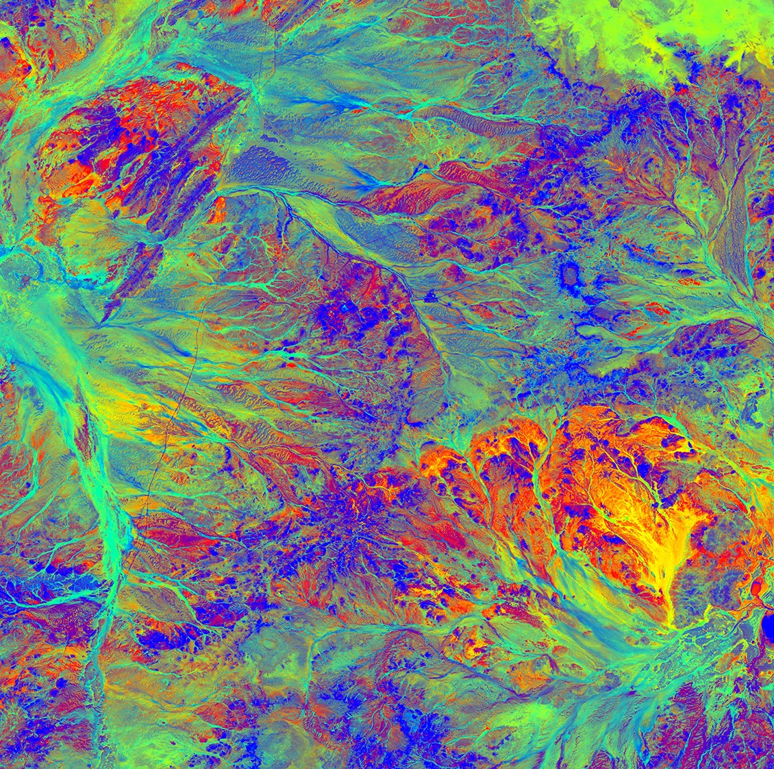
Fractional Cover 25m 2.2.1
- Version:
2.2.1 (See latest version)
- Product types:
Derivative, Raster
- Update frequency:
Deprecated
- Product IDs:
ls5_fc_albers, ls7_fc_albers, ls8_fc_albers
Old version
This is an old version of the product. See the latest version.
Key details
Collection |
Geoscience Australia Landsat Collection 2 |
Persistent ID |
|
Licence |
Publications
Scarth, P., Roder, A. and Schmidt, M. (2010). Tracking grazing pressure and climate interaction - the role of Landsat fractional cover in time series analysis. Proceedings of the 15th Australasian Remote Sensing & Photogrammetry Conference.
Schmidt, M., Denham, R. and Scarth, P. (2010), Fractional ground cover monitoring of pastures and agricultural areas in Queensland. Proceedings of the 15th Australasian Remote Sensing & Photogrammetry Conference.
Background
Fractional cover data can be used to identify large scale patterns and trends and inform evidence based decision making and policy on topics including wind and water erosion risk, soil carbon dynamics, land management practices and rangeland condition.
This information is used by policy agencies, natural and agricultural land resource managers, and scientists to monitor land conditions over large areas over long time frames.
What this product offers
Fractional Cover (FC), developed by the Joint Remote Sensing Research Program, is a measurement that splits the landscape into three parts, or fractions:
Green (leaves, grass, and growing crops)
Brown (branches, dry grass or hay, and dead leaf litter)
Bare ground (soil or rock)
DEA uses Fractional Cover to characterise every 25 m square of Australia for any point in time from 1987 to today.
Applications
Fractional cover provides valuable information for a range of environmental and agricultural applications, including:
Soil erosion monitoring
Land surface process modelling
Land management practices (e.g. crop rotation, stubble management, rangeland management)
Vegetation studies
Fuel load estimation
Ecosystem modelling
Land cover mapping
Technical information
Fractional Cover (FC) is one of two vegetation-related products currently offered by Digital Earth Australia, the other being the Normalised Difference Vegetation Index (NDVI) product. FC provides information about the the proportions of green vegetation, non-green vegetation (including deciduous trees during autumn, dry grass, etc.), and bare soils for every 25m x 25m ground footprint across the whole Australian continent. This information is available for every cloud free satellite observation over Australia from 1987 till now. FC can potentially provide insights into the interplay and changes in areas of dry vegetation and/or bare soil as well as allowing the mapping of green vegetation extent.
The FC algorithm was developed by the Joint Remote Sensing Research Program and is described in described in Scarth et al. (2010). It has been implemented by Geoscience Australia for every observation from Landsat Thematic Mapper (Landsat 5), Enhanced Thematic Mapper (Landsat 7) and Operational Land Imager (Landsat 8) acquired since 1987. It is calculated from terrain corrected surface reflectance (SR-NT_25_2.0.0).
FC_25 provides a 25m scale fractional cover representation of the proportions of green vegetation, non-green vegetation, and bare surface cover across the Australian continent. The fractions are retrieved by inverting multiple linear regression estimates and using synthetic endmembers in a constrained non-negative least squares unmixing model.
For more information, see Scarth et al. (2010) and Schmidt et al. (2010).
Data layers
The product consists of four data layers:
The fractional cover of green vegetation (PV)
The fractional cover of non-green vegetation (NPV)
The fractional cover of bare soil (BS)
The fractional cover unmixing error (UE)
The values for this product are scaled as follows: For the fractional cover bands (PV, NPV, BS) 0-100 = fractional cover values that range between 0 and 100%
Due to model uncertainties and the limitations of the training data, some areas may show cover values in excess of 100%. These areas can either be excluded or treated as equivalent to 100%
For the unmixing error (UE) band, the values are scaled between 0 and 127 High unmixing error values represent areas of high model uncertainty (areas of water, cloud, cloud shadow or soil types/colours that were not included in the model training data).
Lineage
Nationally consistent information about fractional cover dynamics is essential to addressing a range of natural resource challenges. These include land management practices, air quality, soil erosion, rangeland condition and soil carbon dynamics.
FC_25 provides a consistent classification which will be an important foundation for land cover mapping and monitoring across Australia. It is a resource for natural resource managers, land surface process modellers, carbon modellers, rangeland managers, ecosystem scientists and policy makers.
The fractional cover algorithm was developed by the Joint Remote Sensing Research Program (JRSRP) and is described in Scarth et al. (2010). While originally calibrated in Queensland, a large collaborative effort between The Department of Agriculture - ABARES and State and Territory governments to collect additional field data has enabled the calibration/validation to extend to the entire Australian continent.
1390 field data sites were used to train the model, and a separate 1565 sites were used to evaluate the model accuracy.
FC_25 was made possible by the collaborative framework established by the Terrestrial Ecosystem Research Network (TERN) through the National Collaborative Research Infrastructure Strategy (NCRIS) and collaborative effort between state and Commonwealth governments.
Processing steps
Fractional Cover (FC) provides a representation of the proportions of living vegetation, dry and dying vegetation (including deciduous trees during autumn, dying grass, etc.), and bare soils across the Australian continent for any point in time in the Landsat archive since 1987. FC can potentially provide insight into areas of dry/dying vegetation and/or bare soil as well as allowing the mapping of living vegetation extent.
Fractional cover data can be used to identify large scale patterns and trends and inform evidence based decision making and policy on topics including wind and water erosion risk, soil carbon dynamics, land management practices and rangeland condition. This information could enable policy agencies, natural and agricultural land resource managers, and scientists to monitor land conditions over large areas over long time frames.
The Fractional Cover (FC) algorithm was developed by the Joint Remote Sensing Research Program and is described in described in Scarth et al. (2010). It has been implemented by Geoscience Australia for every observation from Landsat Thematic Mapper (Landsat 5), Enhanced Thematic Mapper (Landsat 7) and Operational Land Imager (Landsat 8) acquired since 1987. It is calculated from surface reflectance data.
FC provides a fractional cover representation of the proportions of green or photosynthetic vegetation, non-photosynthetic vegetation, and bare surface cover across the Australian continent. The fractions are retrieved by inverting multiple linear regression estimates and using synthetic endmembers in a constrained non-negative least squares unmixing model.
References
Flood, N. (2014). Continuity of reflectance data between Landsat-7 ETM+ and Landsat-8 OLI, for both top-of-atmosphere and surface reflectance: A study in the Australian landscape. Remote Sensing, 6(9), 7952–7970. https://doi.org/10.3390/rs6097952
Muir, J., Schmidt, M., Tindall, D., Trevithick, R., Scarth, P. and Stewart, J.B. (2011). Guidelines for field measurement of fractional ground cover: a technical handbook supporting the Australian Collaborative Land Use and Management Program. Queensland Department of Environment and Resource Management for the Australian Bureau of Agricultural and Resource Economics and Sciences.
Scarth, P., Roder, A. and Schmidt, M. (2010). Tracking grazing pressure and climate interaction - the role of Landsat fractional cover in time series analysis. Proceedings of the 15th Australasian Remote Sensing & Photogrammetry Conference.
Schmidt, M., Denham, R. and Scarth, P. (2010), Fractional ground cover monitoring of pastures and agricultural areas in Queensland. Proceedings of the 15th Australasian Remote Sensing & Photogrammetry Conference.
Accuracy
To provide an estimate of accuracy the FC algorithm results were compared with 1565 field sites that were not used to train the FC model.
Based on the comparison with this independent field data the FC product has an overall Root Mean Squared Error (RMSE) of 11.9%. The error margins vary for the three different layers: green RMSE: 11.9%, non-green RMSE: 17.1% and bare RMSE: 14.6%.
The effect of soil moisture may impact the accuracy of the FC product, and the similarity between some bare soil endmembers and non-photosynthetic vegetation endmembers can lead to model instability. Soil types/colours that were not included in the model training data may also be error prone. Pixels that show poor model stability are flagged in the model error band as a value of 2, and can be omitted from further analysis if necessary.
FC products have no water masking applied, so erroneous values for green vegetation over the water may appear. These should be ignored and can be masked out by applying the Water Observations (WO) layer.
Occasionally the sum of the three components is not equal to 100%. Differences are usually small and are not rounded in order to preserve what may be useful seasonal indicators.
Landsat 8 OLI has different relative spectral response curves to the Landsat 5 TM and Landsat 7 ETM+ sensors. To account for this a spectral band adjustment factor is applied to the Landsat 8 data to make it more similar to reflectance as measured by Landsat 7. The adjustment factors are described in more detail in Flood (2014).
Whilst the same training data has been used to train both the JRSRP fractional cover product and the DEA fractional cover product, differences in the terrain corrected surface reflectance data that are used as model inputs mean that the two products are not identical. The differences between the two products are typically less than 5% for the bare soil and non-green cover types, and typically less than 10% for green cover.
Quality assurance
The following details are an extract from the information contained at: https://portal.tern.org.au/metadata/22026
The bare soil, green vegetation and non-green vegetation endmembers are calculated using models linked to an intensive field sampling program that covers a wide range of Australian landscapes covering a wide variety of vegetation, soil and climate types were sampled to measure overstorey and ground cover following the procedure outlined in Muir et al (2011).
Other versions
You can find the history in the latest version of the product.
Acknowledgments
The Fractional cover algorithm was produced by the Joint Remote Sensing Research Program using data sourced from US Geological Survey.
License and copyright
© Commonwealth of Australia (Geoscience Australia).
Released under Creative Commons Attribution 4.0 International Licence.