DEA Surface Reflectance NBART (Sentinel-2B MSI)
DEA Surface Reflectance NBART (Sentinel-2B MSI)
Geoscience Australia Sentinel-2B MSI NBART Collection 3
- Version:
3.2.1 (Latest)
- Product types:
Baseline, Raster
- Time span:
30/06/2017 – Present
- Update frequency:
Daily
- Product ID:
ga_s2bm_ard_3
About
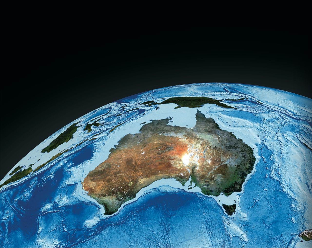
DEA Surface Reflectance Nadir corrected Bidirectional reflectance distribution function Adjusted Reflectance Terrain corrected (NBART) Sentinel-2B Multispectral Instrument (MSI) is part of a suite of Digital Earth Australia’s (DEA) Surface Reflectance datasets that represent the vast archive of images captured by the US Geological Survey (USGS) Landsat and European Space Agency (ESA) Sentinel-2 satellite programs, which have been validated, calibrated, and adjusted for Australian conditions — ready for easy analysis.
Access the data
For help accessing the data, see the Access tab.
DEA Maps
DEA Explorer
Access the data on AWS
Access the data on NCI
Code examples
Web Services
Key details
Collection |
Geoscience Australia Sentinel-2 Collection 3 |
DOI |
|
Licence |
Cite this product
Data citation |
Geoscience Australia, 2022. Geoscience Australia Sentinel-2B MSI NBART Collection 3 - DEA Surface Reflectance NBART (Sentinel-2B MSI). Geoscience Australia, Canberra. https://dx.doi.org/10.26186/146569
|
Publications
Li, F., Jupp, D. L. B., Reddy, S., Lymburner, L., Mueller, N., Tan, P., & Islam, A. (2010). An evaluation of the use of atmospheric and BRDF correction to standardize Landsat data. IEEE Journal of Selected Topics in Applied Earth Observations and Remote Sensing, 3(3), 257–270. https://doi.org/10.1109/JSTARS.2010.2042281
Li, F., Jupp, D. L. B., Thankappan, M., Lymburner, L., Mueller, N., Lewis, A., & Held, A. (2012). A physics-based atmospheric and BRDF correction for Landsat data over mountainous terrain. Remote Sensing of Environment, 124, 756–770. https://doi.org/10.1016/j.rse.2012.06.018
Background
This is a sub-product of DEA Surface Reflectance (Sentinel-2B MSI). See the parent product for more information.
Reflectance data at top of atmosphere (TOA) collected by Sentinel-2B MSI sensors can be affected by atmospheric conditions, sun position, sensor view angle, surface slope and surface aspect.
Surfaces with varying terrain can introduce inconsistencies to optical satellite images through irradiance and bidirectional reflectance distribution function (BRDF) effects. For example, slopes facing the sun appear brighter compared with those facing away from the sun. Likewise, many surfaces on Earth are anisotropic in nature, so the signal picked up by a satellite sensor may differ depending on the sensor’s position.
These inconsistencies need to be reduced or removed to ensure the data can be compared over time.
What this product offers
This product takes Sentinel-2B MSI imagery captured over the Australian continent and corrects the inconsistencies across the land and coastal fringe. It achieves this using Nadir corrected Bi-directional reflectance distribution function Adjusted Reflectance (NBAR).
In addition, this product applies terrain illumination correction to correct for varying terrain.
The resolution is a 10/20/60 m grid based on the ESA level 1C archive.
Technical information
Top of atmosphere reflectance measurements
Sentinel-2 series sensors measure top of atmospheric reflectance, which is a composite of:
surface reflectance
atmospheric condition
interaction between surface land cover, solar radiation and sensor view angle (BRDF effect)
land surface orientation relative to the imaging sensor (terrain illumination).
It has been traditionally assumed that satellite imagery displays negligible variation in sun and sensor view angles. However, these can vary significantly both within and between scenes, especially in different seasons and geographic regions (Li et al. 2010, 2012).
Surface reflectance correction models
This product represents standardised optical surface reflectance using robust physical models to correct for variations and inconsistencies in image radiance values.
It delivers modelled surface reflectance from Sentinel-2B MSI data using physical rather than empirical models. This ensures that the reflective value differences between imagery acquired at different times by different sensors will be primarily due to on-ground changes in biophysical parameters rather than artefacts of the imaging environment.
This product is created using a physics-based, coupled Bidirectional Reflectance Distribution Function (BRDF) and atmospheric correction model that can be applied to both flat and inclined surfaces (Li et al. 2012). The resulting surface reflectance values are comparable both within individual images and between images acquired at different times.
For more information on the BRDF/Albedo Model Parameters product, see NASA MODIS BRDF/Albedo parameter and MCD43A1 BRDF/Albedo Model Parameters Product.
Sentinel-2 archive
To improve access to Australia’s archive of Sentinel-2 data, several collaborative projects have been undertaken in conjunction with industry, government and academic partners. These projects have enabled implementation of a more integrated approach to image data correction that incorporates normalising models to account for atmospheric effects, BRDF and topographic shading (Li et al. 2012). The approach has been applied to Sentinel-2 imagery to create baseline surface reflectance products.
The advanced supercomputing facilities provided by the National Computational Infrastructure (NCI) at the Australian National University (ANU) have been instrumental in handling the considerable data volumes and processing complexities involved with the production of this product.
Image format specifications
band01, band02, band03, band04, band05, band06, band07, band08, band8A, band11, band12
Format |
GeoTIFF |
Resolution |
10/20/60m based on Sentinel-2 original pixel resolution |
Datatype |
Int16 |
No data value |
-999 |
Valid data range |
[1,10000] |
Tiled with X and Y block sizes |
512x512 |
Compression |
Deflate, Level 6, Predictor 2 |
Pyramids |
Levels: [8,16,32] |
Contrast stretch |
None |
Output CRS |
As specified by source dataset; source is UTM with WGS84 as the datum |
thumbnail
Format |
JPEG |
RGB combination |
Red: band 4 |
Resolution |
X and Y directions each resampled to 10% of the original size |
Compression |
JPEG, Quality 75 (GDAL default) |
Contrast stretch |
Linear |
Output CRS |
Geographics (Latitude/Longitude) WGS84 |
Processing steps
References
F. Li, D. L.B. Jupp & M. Thankappan (2015) Issues in the application of Digital Surface Model data to correct the terrain illumination effects in Landsat images, International Journal of Digital Earth, 8:3, 235-257, DOI: 10.1080/17538947.2013.866701
L. Wang, F. Li, I. Alam, D. Jupp, S. Oliver and M. Thankappan, “Analysis Ready Data Sensitivity Analyses,” IGARSS 2019 - 2019 IEEE International Geoscience and Remote Sensing Symposium, 2019, pp. 5642-5645, doi: 10.1109/IGARSS.2019.8898667
Accuracy
Atmospheric correction accuracy depends on the quality of aerosol data and total column water vapour available to determine the atmospheric profile at the time of image acquisition (Wang et al., 2009).
BRDF correction is based on low resolution imagery from the Moderate Resolution Imaging Spectroradiometer (MODIS), which is assumed to be relevant to medium resolution imagery such as that captured by Sentinel-2B MSI. A single BRDF shape is applied to each Sentinel-2B tile and it does not account for changes in land cover.
The algorithm assumes that BRDF effect for inclined surfaces is modelled by the surface slope and does not account for land cover orientation relative to gravity (as occurs for some broadleaf vegetation with vertical leaf orientation).
The accuracy of the terrain correction also depend on the quality, scale and spatial resolution of the DSM data used and the co-registration between the DSM and the satellite image (Li et al., 2013). At present, 30 m resolution SRTM DSM data were used for the correction.
The algorithm depends on several auxiliary data sources:
Availability of relevant MODIS BRDF data
Availability of relevant aerosol data
Availability of relevant water vapour data
Availability of relevant DSM data
Availability of relevant ozone data
Improved or more accurate sources for any of the above listed auxiliary dependencies will also improve the surface reflectance result.
Quality assurance
Results from the DEA Cal/Val workflow over 17 data takes from 9 field sites were created based on both BRDF Collections 5 and 6.
The results for each collection were averaged and then compared. The comparison showed small changes in individual field sites, but overall there was no significant difference in the average results over all field sites to within 1% at most.
The technical report containing the data summary for the Phase 1 DEA Surface Reflectance Validation is available: DEA Analysis Ready Data Phase 1 Validation Project: Data Summary
Access the data
See it on a map |
Learn how to use DEA Maps |
|
Explore data availability |
Learn how to use the DEA Explorer |
|
Get the data online |
Learn how to access the data via AWS |
|
Code sample |
Learn how to use the DEA Sandbox |
|
Get via web service |
Learn how to use DEA’s web services |
How to access Sentinel-2 data using the Open Data Cube
This product is contained in the Open Data Cube instance managed by Digital Earth Australia (DEA). This simplified process allows you to query data from its sub-products as part of a single query submitted to the database.
Introduction to DEA Surface Reflectance (Sentinel-2, Collection 3)
How to access DEA Maps
To view and access the data interactively via a web map interface:
Visit DEA Maps
Click “Explore map data”
Select “Baseline satellite data” -> “DEA Surface Reflectance (Sentinel-2)”
Click “Add to the map”
Old versions
View previous versions of this data product.
Changelog
2024-02-26: Reprocessing complete
Reprocessing for the Sentinel-2 contiguity fix is complete. For a list of all scenes that were affected, download the CSV file below.
Acknowledgments
This research was undertaken with the assistance of resources from the National Computational Infrastructure (NCI), which is supported by the Australian Government.
Contains modified Copernicus Sentinel data 2015-present.
The authors would like to thank the following organisations:
National Aeronautics and Space Administration (NASA)
Environment Canada
The Commonwealth Scientific and Industrial Research Organisation (CSIRO)
National Oceanic and Atmospheric Administration (NOAA) / Earth System Research Laboratories (ESRL) / Physical Sciences Laboratory (PSD)
The National Geospatial-Intelligence Agency (NGA)
The United States Geological Survey (USGS) / Earth Resources Observation and Science (EROS) Center
Spectral Sciences Inc.
License and copyright
© Commonwealth of Australia (Geoscience Australia).
Released under Creative Commons Attribution 4.0 International Licence.